Simplicity of Information and Control
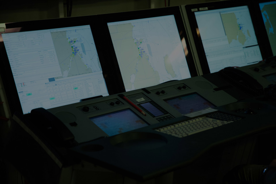
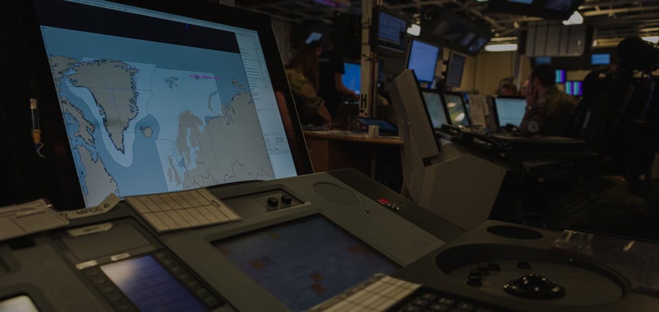
Our solutions provide an intuitive HMI that requires minimal training or instruction. Furthermore, gain value from modern displays with appropriate 2D, 3D and layered visualization options.
One solution we offer is the Naval Tactical Simulator (NTS), which provides tactical benefits through a synthetic representation of the naval battle space. For the air, we offer a range of displays that work with self-protection systems for high-level situational awareness. This includes integrated EW and self-protection displays for fighter jets, helicopters and transport aircraft. The system’s capabilities include a real-time, correlated threat environment picture provided to the pilot.
Discover Our Capabilities
Intuitive User Interface — Developed with End-users
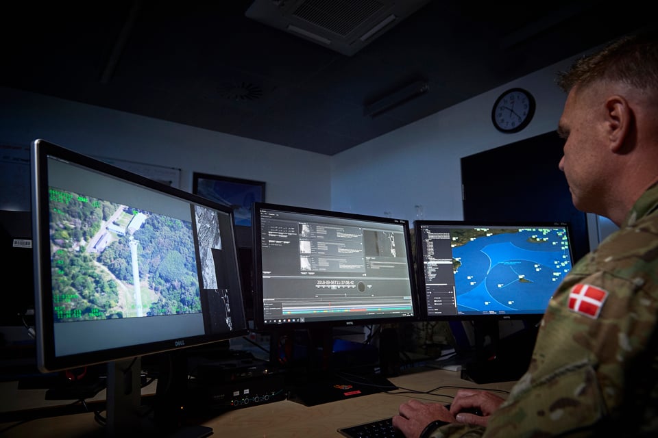
Our intuitive interface has been developed in collaboration with active warfighters and allows your soldiers to visualize ground terrain in both 2D and 3D and to access relevant sea charts, weather data, and terrain analysis. By simply choosing which overlay to display, your operatives achieve comprehensive situational awareness.
Commonality Across Platforms
With commonality across platforms, you can rely on an enhanced level of situational awareness and interoperability. Results include high usability, low training costs and better conditions for collaboration across platforms, teams and units.
Central Target Subjects and POIs
Automatic prioritization of central target subjects and points of interest ensures maximum awareness and display clarity. With an overview of any POIs, keep an observant eye on static or moving targets and engage when needed.
Layered Display Interface
Our layered display interface provides you with a trouble-free understanding of different layers of information. The Common Operational Picture may consist of air, maritime, land and environmental pictures. Information comparing the current situation with the user’s envisioned orders and directives may be overlaid on top of the COP.
Related Solutions
Our solutions for situational awareness are creating value in the following segments:


